






Skip to content
my story

About Me

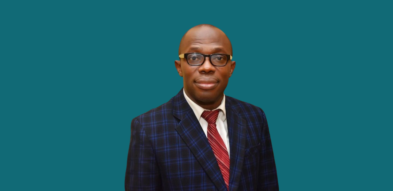
meet PROF. ADEOTI LUKMON

Professor Adeoti Lukmon is a distinguished Geophysics expert with a passion for unraveling the mysteries of the Earth’s subsurface. With a wealth of experience in academia and industry, Professor Lukmon has dedicated his career to advancing the field of Geophysics through research, teaching, and consultancy services. His expertise spans a wide range of topics, including seismic exploration, gravity and magnetic methods, and geophysical data analysis.

As a consultant, Professor Lukmon has provided valuable insights and solutions to various industries, helping them make informed decisions based on sound geophysical principles. His commitment to excellence and innovation has earned him recognition among his peers and students alike. Whether in the classroom, the field, or the boardroom, Professor Lukmon continues to inspire and educate others about the fascinating world of Geophysics.

what I do

Work With Me

GEOPHYSICAL CONSULTING

As a geophysical consultant, I offers expert advice and solutions to industries and organizations, helping them address geophysical challenges and make informed decisions based on sound scientific principles.

Academics & Research

With a strong background in academia, I have contributed significantly to geophysical research through publications in reputable journals and presentations at international conferences.

SEISMIC EXPLORATION

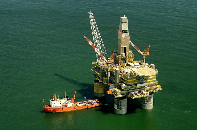
Seismic expert using sound waves to image subsurface structures, aiding oil and gas exploration, and environmental and engineering studies.

GEOLOGICAL MAPPING

Skilled in geological mapping, I create detailed maps for resource exploration, land-use planning, and environmental conservation.

GEOPHYSICAL MODELING

Using geophysical modeling, I simulate subsurface conditions, offering insights crucial for scientific and engineering applications.

GRAVITY AND MAGNETIC METHODS

With expertise in gravity and magnetic methods, I interpret Earth's fields to map subsurface structures, aiding mineral exploration and tectonic studies.

REMOTE SENSING TECHNIQUES

I use remote sensing, like satellite imagery, to study Earth's surface and monitor environmental changes for climate research and land use planning.

GEOPHYSICAL DATA ANALYSIS

Skilled in geophysical data analysis, I interpret large datasets to understand Earth's dynamics and predict natural hazards.

testimonials

What My Clients Say

Lorem ipsum dolor sit amet, consectetur adipiscing elit. Pellentesque vel dolor sit amet eros convallis rhoncus id in felis. Nullam id fringilla lorem, in vestibulum lacus. Donec suscipit porttitor lacus quis sollicitudin.
Rachel Coffman
Financial Manager